Geonics Depth

What is the maximum exploration depth of Geonics equipment?

How deep can Geonics equipment explore? That depends on what piece of equipment the user is using. The maximum exploration depth of Geonics equipment that measures ground conductivity and magnetic susceptibility, such as the EM-31, EM-38, and EM-34, is dependent on the selected intercoil spacing and orientation of the coils. In other words, the distance between the transmitter and receiver …
Convert GPS UTM Post

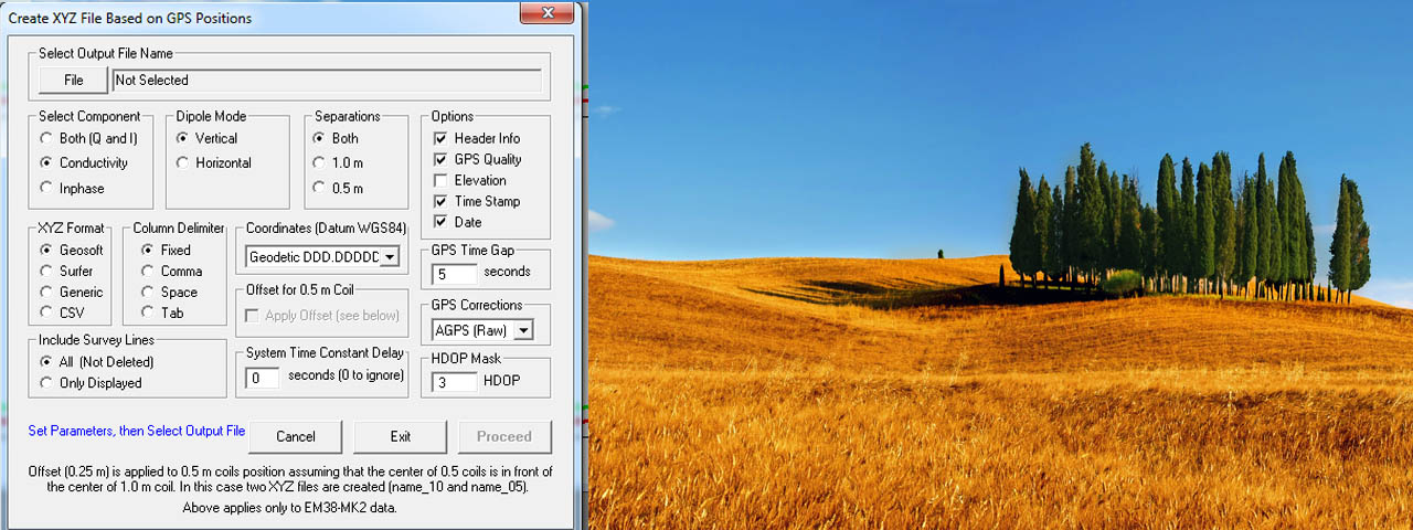
Geonics EM-38 Continuous Readings With GPS and Convert to UTM

Convert to UTM Geonics’ EM-38 Continuous Readings With GPS configured to output NMEA String $GPGGA. Recording continuous apparent conductivity data with a Geonics EM-38  and converting the GPS to UTM is fairly straight forward. 1) Start EM38Mk2 on the datalogger (Allegro CX or TK6000 are often used). Turn on the data logger and find EM38. It is often located on …